Midwest and Northeast Brace for Severe Storms
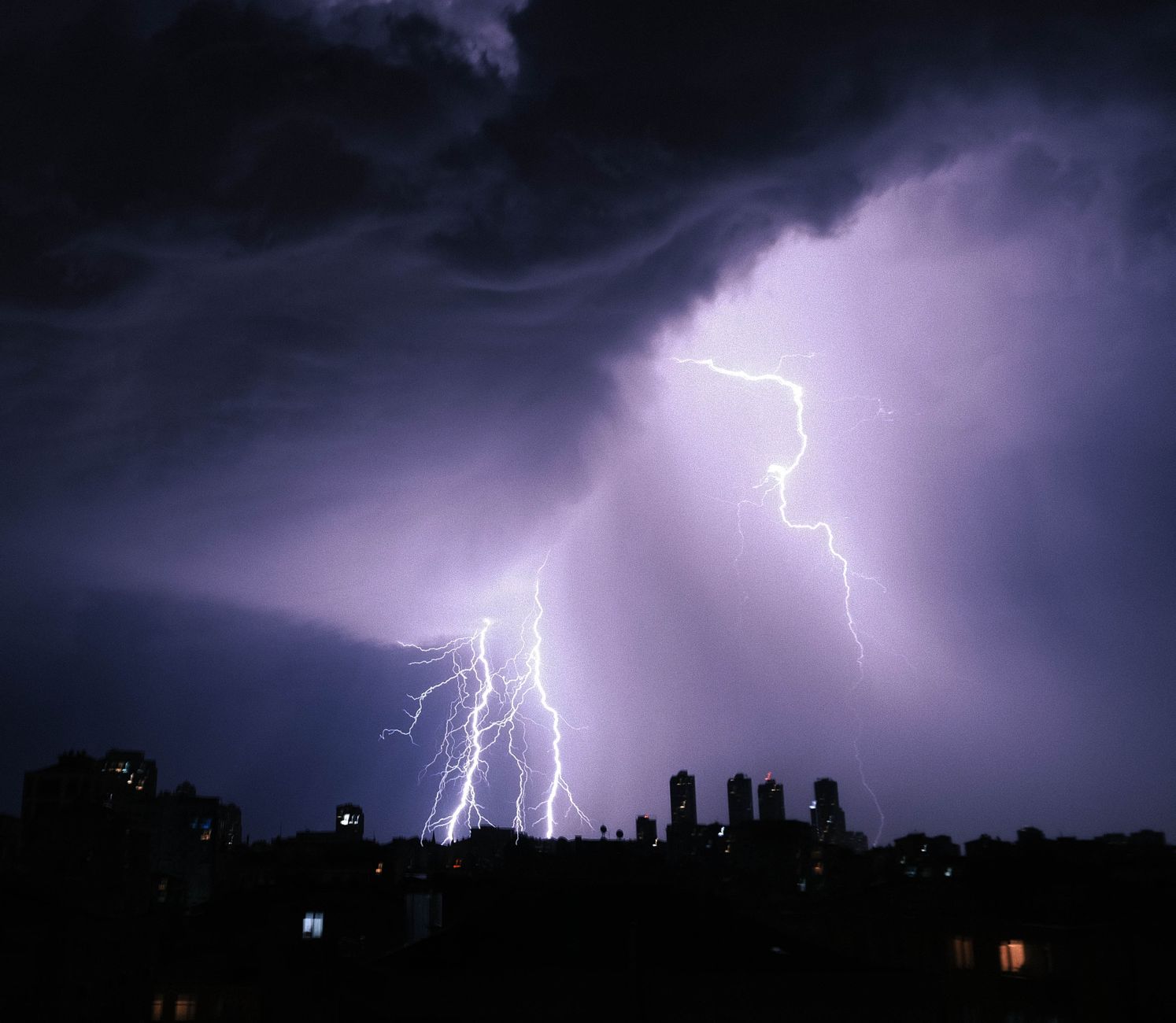
A broad swath of the Midwest and parts of the Northeast are bracing for a Tuesday of potentially severe storms, with the Chicago area and northern Illinois facing a fast-moving line capable of damaging winds up to 80 mph, large hail, brief tornadoes, and heavy rainfall that could cause flash flooding. Forecasts place the main event from around 9 a.m. to 3 p.m., with the Chicago region at enhanced (Level 3 of 5) risk and surrounding areas similarly alert. Meteorologists emphasize uncertainty about the storm's exact evolution and track, urging residents to have multiple warning channels and seek shelter as needed. Forecasts also indicate continued storm chances through the week, with potential redevelopment or lingering fronts keeping the pattern unsettled and temperatures in the 80s. Beyond Illinois and Chicago, pockets of New Jersey, Wisconsin, and Pennsylvania are monitoring periodic rounds of strong storms, wind gusts, heavy rain, and localized flooding. Earlier reservoir and water quality concerns around McCook and Thornton reservoirs are not reiterated in the newer forecast.